Mysterious structure
Introduction
The photograph on this page of Mysterious structure by philandju as part of the Geograph project.
The Geograph project started in 2005 with the aim of publishing, organising and preserving representative images for every square kilometre of Great Britain, Ireland and the Isle of Man.

There are currently over 7.5m images from over 14,400 individuals and you can help contribute to the project by visiting https://www.geograph.org.uk
Mysterious structure
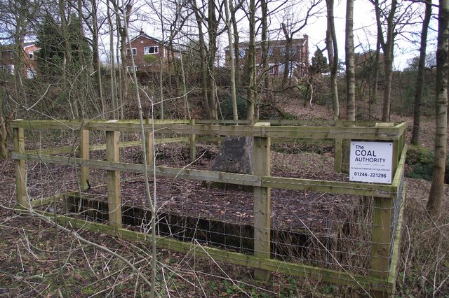
Image: © philandju Taken: 2 Feb 2013
The fenced off concrete base with a concrete monument atop is not detailed on the map. It seems that the structure is owned by the Coal Authority and could be a capped mineshaft.
Images are licensed for reuse under creativecommons.org/licenses/by-sa/2.0
Image Location
Latitude
53.611533
Longitude
-2.399901