Dudley Road in Blakenhall, Wolverhampton
Introduction
The photograph on this page of Dudley Road in Blakenhall, Wolverhampton by Roger D Kidd as part of the Geograph project.
The Geograph project started in 2005 with the aim of publishing, organising and preserving representative images for every square kilometre of Great Britain, Ireland and the Isle of Man.

There are currently over 7.5m images from over 14,400 individuals and you can help contribute to the project by visiting https://www.geograph.org.uk
Dudley Road in Blakenhall, Wolverhampton
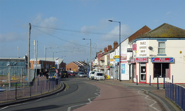
Image: © Roger D Kidd Taken: 30 Jan 2013
Looking towards Wolverhampton city centre from near the junction with Byrne Road. On the left is the edge of the building site which is now the developing Blakenhall Gardens housing and retail development. There was a 1960s shopping precinct here until recently with useful Asian supermarkets.
Images are licensed for reuse under creativecommons.org/licenses/by-sa/2.0
Image Location
Latitude
52.572195
Longitude
-2.125521