Farmland near Pool of Muckhart
Introduction
The photograph on this page of Farmland near Pool of Muckhart by William Starkey as part of the Geograph project.
The Geograph project started in 2005 with the aim of publishing, organising and preserving representative images for every square kilometre of Great Britain, Ireland and the Isle of Man.

There are currently over 7.5m images from over 14,400 individuals and you can help contribute to the project by visiting https://www.geograph.org.uk
Farmland near Pool of Muckhart
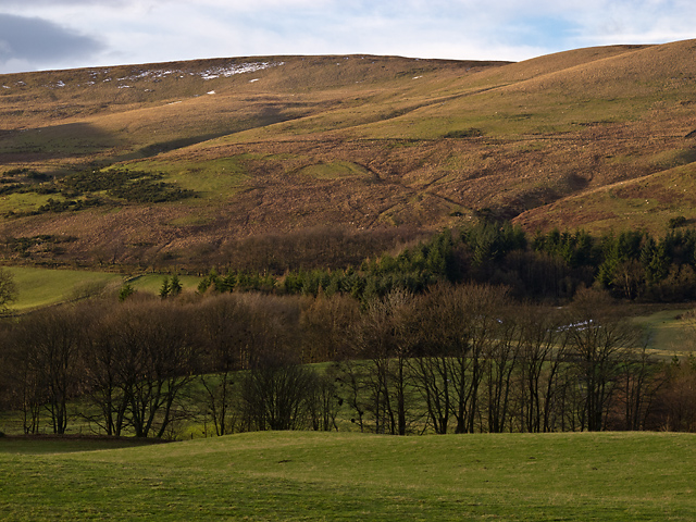
Image: © William Starkey Taken: 1 Feb 2013
Grazing land west of the Pool of Muckhart, with the remnants of January's snowfall visible on the high ground between Seamab and Commonedge Hills.
Images are licensed for reuse under creativecommons.org/licenses/by-sa/2.0
Image Location
Latitude
56.185612
Longitude
-3.618865