Lane to The Lee, St Leonards
Introduction
The photograph on this page of Lane to The Lee, St Leonards by Rob Farrow as part of the Geograph project.
The Geograph project started in 2005 with the aim of publishing, organising and preserving representative images for every square kilometre of Great Britain, Ireland and the Isle of Man.

There are currently over 7.5m images from over 14,400 individuals and you can help contribute to the project by visiting https://www.geograph.org.uk
Lane to The Lee, St Leonards
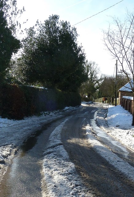
Image: © Rob Farrow Taken: 26 Jan 2013
This lane leads off from the main lane through St Leonards beside its eponymous church. The lane eventually leads by a spectacularly indirect route to The Lee, though you have several options to branch off before you get there to go to The Hale, or along Arrewig Lane to Chartridge, or to ignore The Lee at the last moment and go Kingsash and Wendover. Choices, choices !
Images are licensed for reuse under creativecommons.org/licenses/by-sa/2.0
Image Location
Latitude
51.754772
Longitude
-0.68421