Road junction, St Leonards
Introduction
The photograph on this page of Road junction, St Leonards by Rob Farrow as part of the Geograph project.
The Geograph project started in 2005 with the aim of publishing, organising and preserving representative images for every square kilometre of Great Britain, Ireland and the Isle of Man.

There are currently over 7.5m images from over 14,400 individuals and you can help contribute to the project by visiting https://www.geograph.org.uk
Road junction, St Leonards
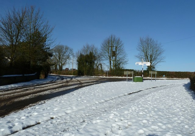
Image: © Rob Farrow Taken: 26 Jan 2013
This is the road junction where the lane from The Lee hits the main road (still only a country lane though) through St Leonards. Image] is just off to the right of the photographer.
Images are licensed for reuse under creativecommons.org/licenses/by-sa/2.0
Image Location
Latitude
51.755306
Longitude
-0.68376