Hale Lane out of Wendover
Introduction
The photograph on this page of Hale Lane out of Wendover by Rob Farrow as part of the Geograph project.
The Geograph project started in 2005 with the aim of publishing, organising and preserving representative images for every square kilometre of Great Britain, Ireland and the Isle of Man.

There are currently over 7.5m images from over 14,400 individuals and you can help contribute to the project by visiting https://www.geograph.org.uk
Hale Lane out of Wendover
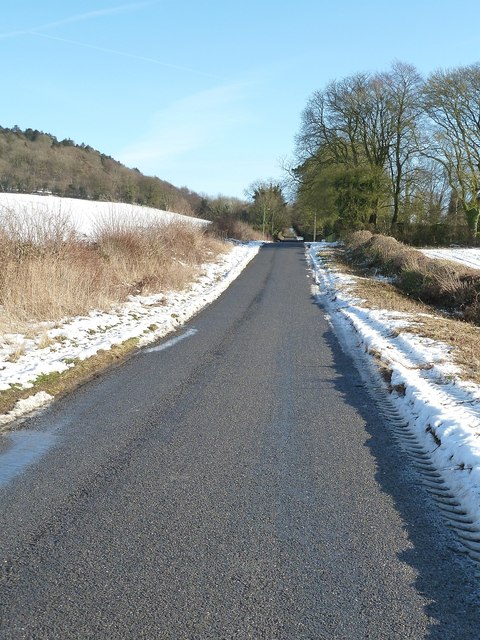
Image: © Rob Farrow Taken: 26 Jan 2013
Hale Lane heads due east out of Wendover in a dead-straight line for about a mile. The southern slopes of Boddington Hill can be seen on the left of the image.
Images are licensed for reuse under creativecommons.org/licenses/by-sa/2.0
Image Location
Latitude
51.758249
Longitude
-0.730619