Field east of Peartree Terrace
Introduction
The photograph on this page of Field east of Peartree Terrace by Trevor Littlewood as part of the Geograph project.
The Geograph project started in 2005 with the aim of publishing, organising and preserving representative images for every square kilometre of Great Britain, Ireland and the Isle of Man.

There are currently over 7.5m images from over 14,400 individuals and you can help contribute to the project by visiting https://www.geograph.org.uk
Field east of Peartree Terrace
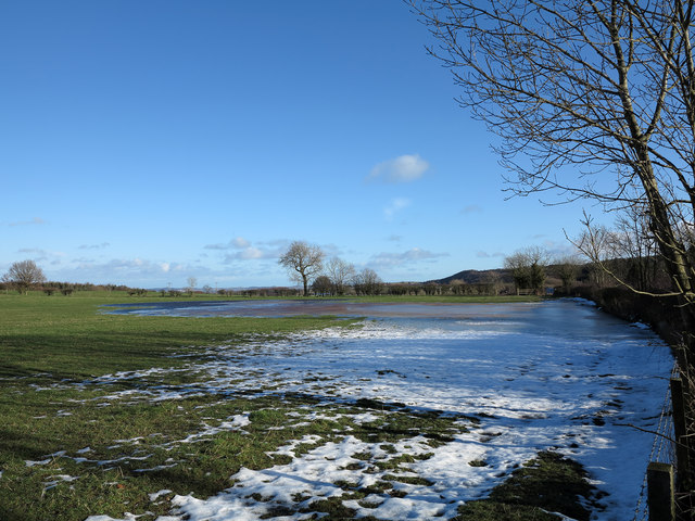
Image: © Trevor Littlewood Taken: 30 Jan 2013
The field lying on the north side of a minor road not far from the village of Burnhope has the residues of the snow and ice that had lain during the previous two weeks.
Images are licensed for reuse under creativecommons.org/licenses/by-sa/2.0
Image Location


Leaflet Map data © OpenStreetMap
Latitude
54.834048
Longitude
-1.676932