Wombwell High Street from the Old Market car park
Introduction
The photograph on this page of Wombwell High Street from the Old Market car park by Steve Fareham as part of the Geograph project.
The Geograph project started in 2005 with the aim of publishing, organising and preserving representative images for every square kilometre of Great Britain, Ireland and the Isle of Man.

There are currently over 7.5m images from over 14,400 individuals and you can help contribute to the project by visiting https://www.geograph.org.uk
Wombwell High Street from the Old Market car park
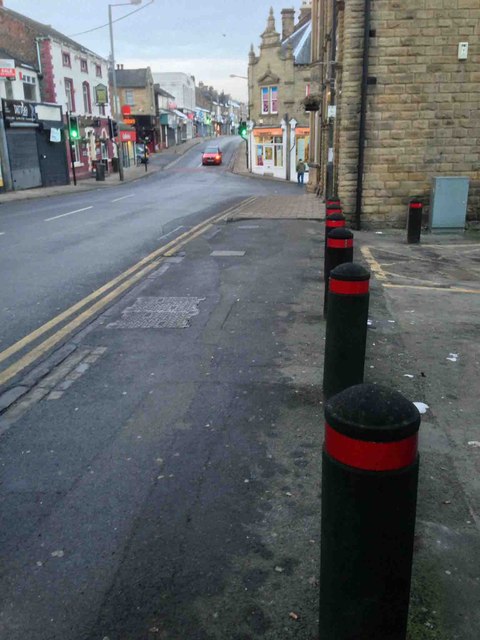
Image: © Steve Fareham Taken: 25 Jan 2013
The first building on the right was the Town Hall recently (last few weeks) into another public house.
Images are licensed for reuse under creativecommons.org/licenses/by-sa/2.0
Image Location


Leaflet Map data © OpenStreetMap
Latitude
53.521792
Longitude
-1.3977