Children's play area at Winnall
Introduction
The photograph on this page of Children's play area at Winnall by Basher Eyre as part of the Geograph project.
The Geograph project started in 2005 with the aim of publishing, organising and preserving representative images for every square kilometre of Great Britain, Ireland and the Isle of Man.

There are currently over 7.5m images from over 14,400 individuals and you can help contribute to the project by visiting https://www.geograph.org.uk
Children's play area at Winnall
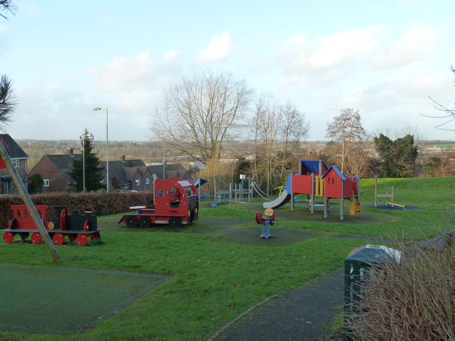
Image: © Basher Eyre Taken: 30 Jan 2013
(between Winnall Manor Road and Turnpike Down)
Images are licensed for reuse under creativecommons.org/licenses/by-sa/2.0
Image Location


Leaflet Map data © OpenStreetMap
Latitude
51.06327
Longitude
-1.298423