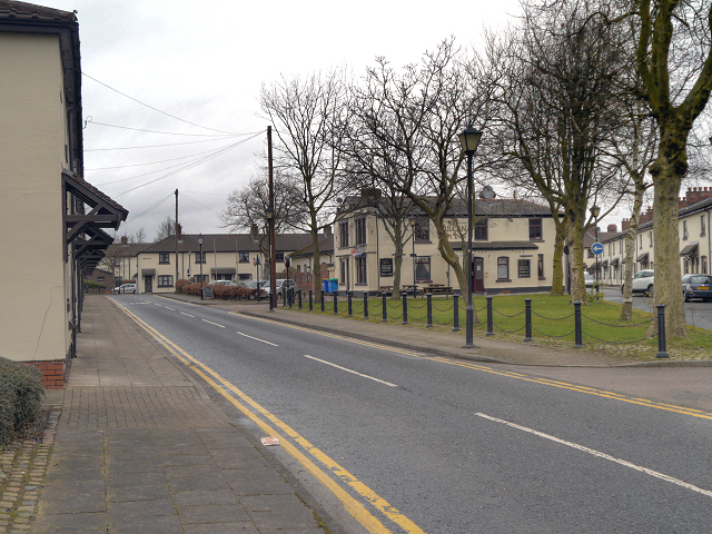
Vulcan Village
Introduction
The photograph on this page of Vulcan Village by David Dixon as part of the Geograph project.
The Geograph project started in 2005 with the aim of publishing, organising and preserving representative images for every square kilometre of Great Britain, Ireland and the Isle of Man.
There are currently over 7.5m images from over 14,400 individuals and you can help contribute to the project by visiting https://www.geograph.org.uk

Image: © David Dixon Taken: 28 Jan 2013
Looking northwards, along Wargrave Road, through the village. The village green with the Vulcan Inn behind it, is on the right hand side. To the left, is Derby Row; one of six-rows of terraced houses in the village. Most of the street lights within the Conservation Area are in ‘Victorian’ style lighting columns and lanterns, erected at prominent positions; three of these can be seen on the right hand side of the road.

