Upperton Road Bridge
Introduction
The photograph on this page of Upperton Road Bridge by Mat Fascione as part of the Geograph project.
The Geograph project started in 2005 with the aim of publishing, organising and preserving representative images for every square kilometre of Great Britain, Ireland and the Isle of Man.

There are currently over 7.5m images from over 14,400 individuals and you can help contribute to the project by visiting https://www.geograph.org.uk
Upperton Road Bridge
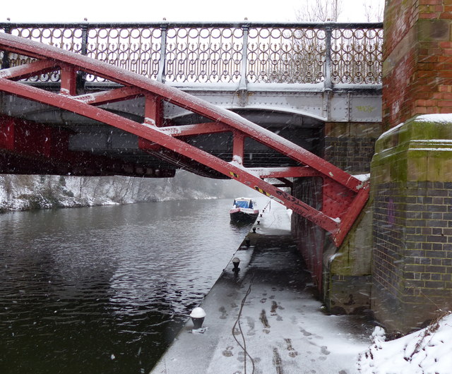
Image: © Mat Fascione Taken: 20 Jan 2013
Looking south along the tow path of the Grand Union Canal/River Soar. This section of the canal is known as `The Mile Straight`.
Images are licensed for reuse under creativecommons.org/licenses/by-sa/2.0
Image Location
Latitude
52.625982
Longitude
-1.143408