Bonehurst Road
Introduction
The photograph on this page of Bonehurst Road by Ian Capper as part of the Geograph project.
The Geograph project started in 2005 with the aim of publishing, organising and preserving representative images for every square kilometre of Great Britain, Ireland and the Isle of Man.

There are currently over 7.5m images from over 14,400 individuals and you can help contribute to the project by visiting https://www.geograph.org.uk
Bonehurst Road
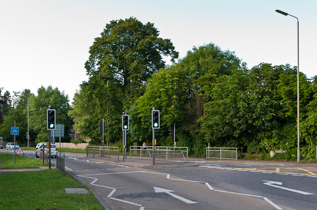
Image: © Ian Capper Taken: 13 Jun 2012
The A23 in Horley just north of the Chequers roundabout, junction for the Balcombe Road. The road dates from 1816 as the direct route from Gatton Point, north of Redhill, to Povey Cross, near Gatwick. On the far right is the milepost in Image
Images are licensed for reuse under creativecommons.org/licenses/by-sa/2.0
Image Location
Latitude
51.181484
Longitude
-0.163567