Track to Allington
Introduction
The photograph on this page of Track to Allington by Penny Mayes as part of the Geograph project.
The Geograph project started in 2005 with the aim of publishing, organising and preserving representative images for every square kilometre of Great Britain, Ireland and the Isle of Man.

There are currently over 7.5m images from over 14,400 individuals and you can help contribute to the project by visiting https://www.geograph.org.uk
Track to Allington
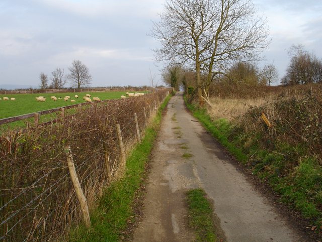
Image: © Penny Mayes Taken: 5 Feb 2007
This track is marked as a public footpath and runs from Hermitage Lane (beside the Hermitage) to Allington, cutting through the new housing estate in Allington. It serves as an access road for the orchards and reservoir.
Images are licensed for reuse under creativecommons.org/licenses/by-sa/2.0
Image Location
Latitude
51.279524
Longitude
0.481537