West Holme Cottage
Introduction
The photograph on this page of West Holme Cottage by Phil Champion as part of the Geograph project.
The Geograph project started in 2005 with the aim of publishing, organising and preserving representative images for every square kilometre of Great Britain, Ireland and the Isle of Man.

There are currently over 7.5m images from over 14,400 individuals and you can help contribute to the project by visiting https://www.geograph.org.uk
West Holme Cottage
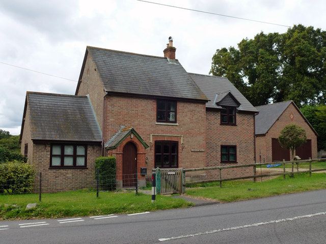
Image: © Phil Champion Taken: 20 Sep 2012
An isolated house on the B3070 at West Holme, near the edge of the firing ranges between this location and East Lulworth.
Images are licensed for reuse under creativecommons.org/licenses/by-sa/2.0
Image Location
Latitude
50.669234
Longitude
-2.162253