Bridge over two disused railways
Introduction
The photograph on this page of Bridge over two disused railways by Humphrey Bolton as part of the Geograph project.
The Geograph project started in 2005 with the aim of publishing, organising and preserving representative images for every square kilometre of Great Britain, Ireland and the Isle of Man.

There are currently over 7.5m images from over 14,400 individuals and you can help contribute to the project by visiting https://www.geograph.org.uk
Bridge over two disused railways
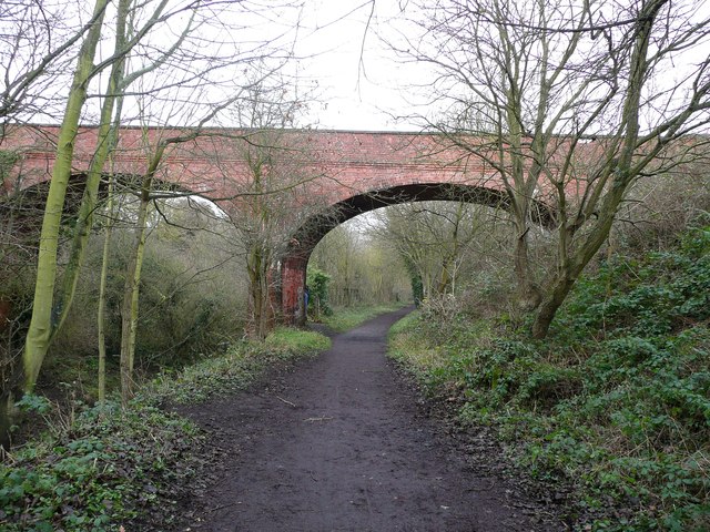
Image: © Humphrey Bolton Taken: 25 Dec 2012
This magnificent bridge only carries a field access track (currently disused). The railway track on the left is gradually climbing to meet the main line, which is now part of the North Sea Cycle Route, NCN1.
Images are licensed for reuse under creativecommons.org/licenses/by-sa/2.0
Image Location
Latitude
54.477939
Longitude
-0.621647