Deltic at Southburn Dene, 1968
Introduction
The photograph on this page of Deltic at Southburn Dene, 1968 by Derek Harper as part of the Geograph project.
The Geograph project started in 2005 with the aim of publishing, organising and preserving representative images for every square kilometre of Great Britain, Ireland and the Isle of Man.

There are currently over 7.5m images from over 14,400 individuals and you can help contribute to the project by visiting https://www.geograph.org.uk
Deltic at Southburn Dene, 1968
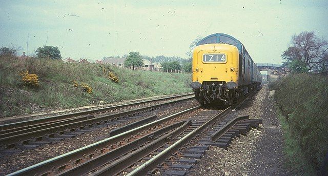
Image: © Derek Harper Taken: 1 May 1968
Looking in the other direction from the spot where Image was taken, as the track runs through a shallow cutting. In the background, in Image, is the bridge carryig the road to The Hermitage, and houses on Carrowmore Road.
Images are licensed for reuse under creativecommons.org/licenses/by-sa/2.0
Image Location
Latitude
54.843185
Longitude
-1.579536