Patcham Court Farmhouse
Introduction
The photograph on this page of Patcham Court Farmhouse by Simon Carey as part of the Geograph project.
The Geograph project started in 2005 with the aim of publishing, organising and preserving representative images for every square kilometre of Great Britain, Ireland and the Isle of Man.

There are currently over 7.5m images from over 14,400 individuals and you can help contribute to the project by visiting https://www.geograph.org.uk
Patcham Court Farmhouse
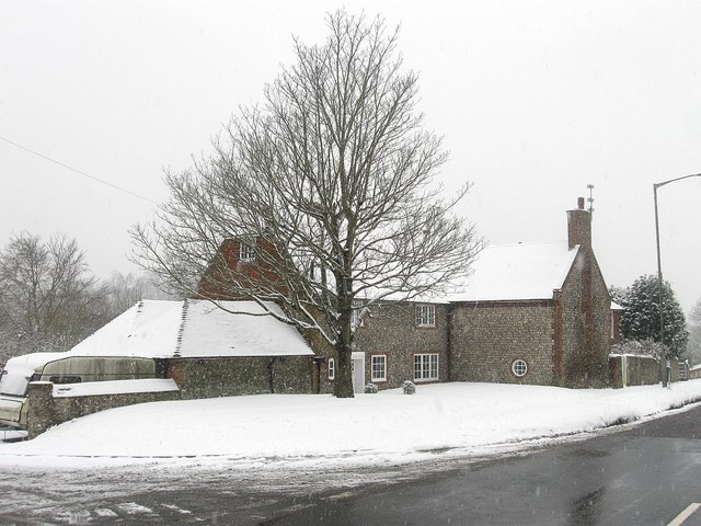
Image: © Simon Carey Taken: 20 Jan 2013
Located on the corner of Vale Avenue and Church Hill the former farmhouse dates from the 17th century though it has been extended and restored since then. The farm itself is of some antiquity and was acquired by the council in 1925.
Images are licensed for reuse under creativecommons.org/licenses/by-sa/2.0
Image Location
Latitude
50.867116
Longitude
-0.151419