Santyhills Avenue, Patcham
Introduction
The photograph on this page of Santyhills Avenue, Patcham by Simon Carey as part of the Geograph project.
The Geograph project started in 2005 with the aim of publishing, organising and preserving representative images for every square kilometre of Great Britain, Ireland and the Isle of Man.

There are currently over 7.5m images from over 14,400 individuals and you can help contribute to the project by visiting https://www.geograph.org.uk
Santyhills Avenue, Patcham
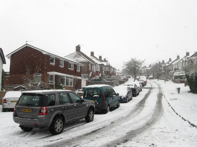
Image: © Simon Carey Taken: 20 Jan 2013
A residential road that runs between Mackie Avenue and Braeside Avenue and built in the 1930s with much of the rest of the estate.
Images are licensed for reuse under creativecommons.org/licenses/by-sa/2.0
Image Location
Latitude
50.866127
Longitude
-0.140089