Bog Lane, Stirton
Introduction
The photograph on this page of Bog Lane, Stirton by Peter Wood as part of the Geograph project.
The Geograph project started in 2005 with the aim of publishing, organising and preserving representative images for every square kilometre of Great Britain, Ireland and the Isle of Man.

There are currently over 7.5m images from over 14,400 individuals and you can help contribute to the project by visiting https://www.geograph.org.uk
Bog Lane, Stirton
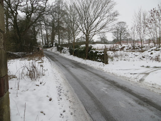
Image: © Peter Wood Taken: 25 Jan 2013
Looking north-east up Bog Lane which runs from the A65 road to the B6265. The picture was taken from the barn on the western side of the lane.
Images are licensed for reuse under creativecommons.org/licenses/by-sa/2.0
Image Location
Latitude
53.972512
Longitude
-2.043916