Access to Scott Laithe
Introduction
The photograph on this page of Access to Scott Laithe by Chris Heaton as part of the Geograph project.
The Geograph project started in 2005 with the aim of publishing, organising and preserving representative images for every square kilometre of Great Britain, Ireland and the Isle of Man.

There are currently over 7.5m images from over 14,400 individuals and you can help contribute to the project by visiting https://www.geograph.org.uk
Access to Scott Laithe
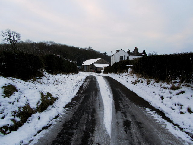
Image: © Chris Heaton Taken: 24 Jan 2013
Access lane leaving Gisburn Road on Cow Hill, heading south to Scott Laithe.
Images are licensed for reuse under creativecommons.org/licenses/by-sa/2.0
Image Location
Latitude
53.938937
Longitude
-2.320312