Surface air-raid shelter, Reinden Wood
Introduction
The photograph on this page of Surface air-raid shelter, Reinden Wood by John Baker as part of the Geograph project.
The Geograph project started in 2005 with the aim of publishing, organising and preserving representative images for every square kilometre of Great Britain, Ireland and the Isle of Man.

There are currently over 7.5m images from over 14,400 individuals and you can help contribute to the project by visiting https://www.geograph.org.uk
Surface air-raid shelter, Reinden Wood
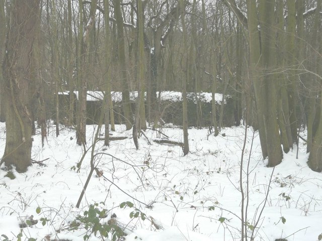
Image: © John Baker Taken: 22 Jan 2013
Seen from the bridleway through the wood, this shelter was part of the former RAF Hawkinge dispersed site and dates from WWII.
Images are licensed for reuse under creativecommons.org/licenses/by-sa/2.0
Image Location
Latitude
51.13297
Longitude
1.168138