Flood protection to houses nearing completion
Introduction
The photograph on this page of Flood protection to houses nearing completion by Robin Stott as part of the Geograph project.
The Geograph project started in 2005 with the aim of publishing, organising and preserving representative images for every square kilometre of Great Britain, Ireland and the Isle of Man.

There are currently over 7.5m images from over 14,400 individuals and you can help contribute to the project by visiting https://www.geograph.org.uk
Flood protection to houses nearing completion
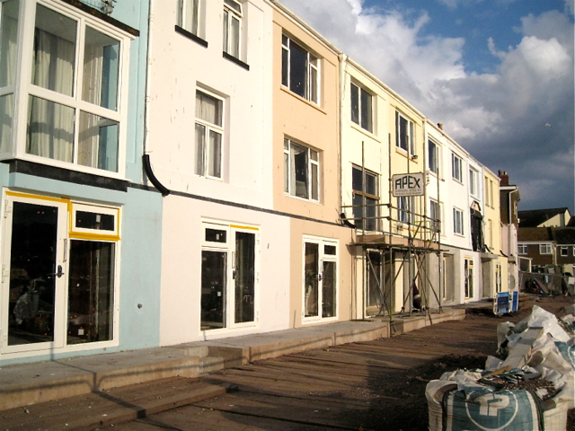
Image: © Robin Stott Taken: 14 Jul 2012
The timber deck provides a temporary level surface for dumper trucks etc to run up and down. The bags are thought to contain beach shingle skimmed off when the works began and which will be relaid.
Images are licensed for reuse under creativecommons.org/licenses/by-sa/2.0
Image Location


Leaflet Map data © OpenStreetMap
Latitude
50.544056
Longitude
-3.498347