Sedgley Beacon (boundary)
Introduction
The photograph on this page of Sedgley Beacon (boundary) by Rude Health as part of the Geograph project.
The Geograph project started in 2005 with the aim of publishing, organising and preserving representative images for every square kilometre of Great Britain, Ireland and the Isle of Man.

There are currently over 7.5m images from over 14,400 individuals and you can help contribute to the project by visiting https://www.geograph.org.uk
Sedgley Beacon (boundary)
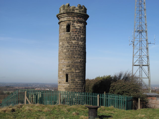
Image: © Rude Health Taken: 8 Feb 2011
Rough patch in boundary corner below Sedgley Beacon, descended East from covered reservoir and through broken railings which I assume marks the boundary. Wolverhampton current county/UA top. Name: Sedgley Beacon (boundary) Hill number: 5562 Height: 235m / 771ft Area: 39: Central and Eastern England Class: CoU Grid ref: SO 92331 94400 Summit feature: no feature Drop: 0m Col: 235m SO923944
Images are licensed for reuse under creativecommons.org/licenses/by-sa/2.0
Image Location
Latitude
52.547214
Longitude
-2.114685