Surrenden Road
Introduction
The photograph on this page of Surrenden Road by Simon Carey as part of the Geograph project.
The Geograph project started in 2005 with the aim of publishing, organising and preserving representative images for every square kilometre of Great Britain, Ireland and the Isle of Man.

There are currently over 7.5m images from over 14,400 individuals and you can help contribute to the project by visiting https://www.geograph.org.uk
Surrenden Road
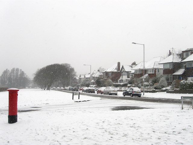
Image: © Simon Carey Taken: 20 Jan 2013
This section runs westwards from Ditchling Road before it turns south when meeting Peacock Lane and Braybon Avenue. The junction with Image is in the foreground whilst the postbox gives the monochrome snow scene its only splash of colour.
Images are licensed for reuse under creativecommons.org/licenses/by-sa/2.0
Image Location
Latitude
50.853389
Longitude
-0.142158