Portobello Road / Wornington Road, W10
Introduction
The photograph on this page of Portobello Road / Wornington Road, W10 by Danny P Robinson as part of the Geograph project.
The Geograph project started in 2005 with the aim of publishing, organising and preserving representative images for every square kilometre of Great Britain, Ireland and the Isle of Man.

There are currently over 7.5m images from over 14,400 individuals and you can help contribute to the project by visiting https://www.geograph.org.uk
Portobello Road / Wornington Road, W10
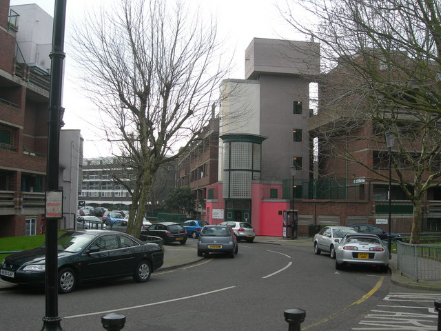
Image: © Danny P Robinson Taken: 4 Feb 2007
The famous market is a few hundred metres ahead, out of sight. There is a pedestrian cut-through to the right of me that leads onto Ladbroke Grove. To the left of me is Wornington Road, leading towards Westbourne Park.
Images are licensed for reuse under creativecommons.org/licenses/by-sa/2.0
Image Location
Latitude
51.523378
Longitude
-0.212465