Bell Inn Yard (looking west)
Introduction
The photograph on this page of Bell Inn Yard (looking west) by Roger Jones as part of the Geograph project.
The Geograph project started in 2005 with the aim of publishing, organising and preserving representative images for every square kilometre of Great Britain, Ireland and the Isle of Man.

There are currently over 7.5m images from over 14,400 individuals and you can help contribute to the project by visiting https://www.geograph.org.uk
Bell Inn Yard (looking west)
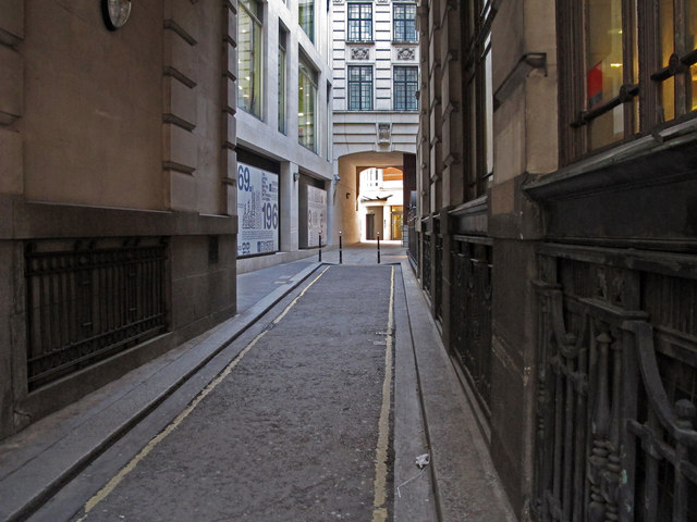
Image: © Roger Jones Taken: 16 Jan 2013
Bell Inn Yard runs between Gracechurch Street and George yard, near the maze of alleys and courtyards near George Yard and St Michael, Cornhill.
Images are licensed for reuse under creativecommons.org/licenses/by-sa/2.0
Image Location
Latitude
51.512374
Longitude
-0.085063