Park Gardens War Memorial, Stroud
Introduction
The photograph on this page of Park Gardens War Memorial, Stroud by Jaggery as part of the Geograph project.
The Geograph project started in 2005 with the aim of publishing, organising and preserving representative images for every square kilometre of Great Britain, Ireland and the Isle of Man.

There are currently over 7.5m images from over 14,400 individuals and you can help contribute to the project by visiting https://www.geograph.org.uk
Park Gardens War Memorial, Stroud
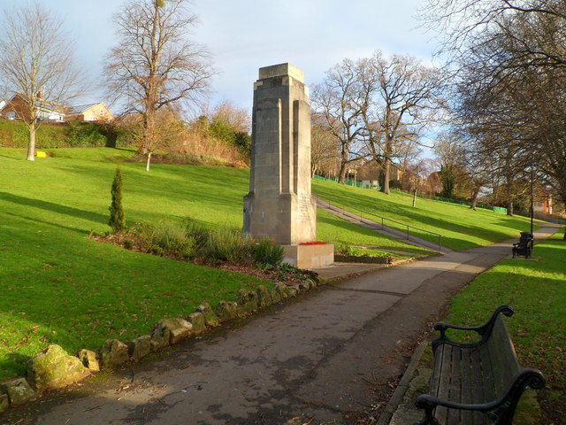
Image: © Jaggery Taken: 8 Jan 2012
When Park Gardens opened in October 1927, there was no War Memorial here. This cenotaph dates from 1935, located at the southern (Slad Road) edge of Park Gardens.
Images are licensed for reuse under creativecommons.org/licenses/by-sa/2.0
Image Location
Latitude
51.74791
Longitude
-2.214763