Cossall, Notts NG16
Introduction
The photograph on this page of Cossall, Notts NG16 by David Hallam-Jones as part of the Geograph project.
The Geograph project started in 2005 with the aim of publishing, organising and preserving representative images for every square kilometre of Great Britain, Ireland and the Isle of Man.

There are currently over 7.5m images from over 14,400 individuals and you can help contribute to the project by visiting https://www.geograph.org.uk
Cossall, Notts NG16
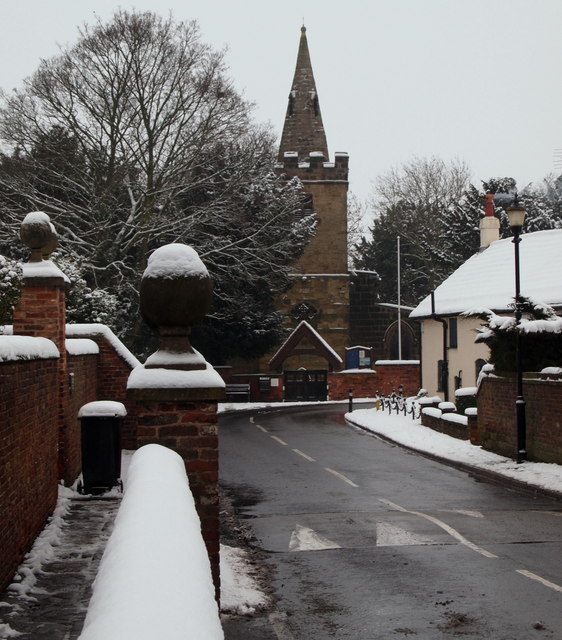
Image: © David Hallam-Jones Taken: 19 Jan 2013
Pedestrians using this stretch of pavement in front of the 17th century Willoughby Almshouses on Church Lane are offered the protection of this very substantial and decorative brick wall. St Catherine's Church adds perhaps to this 'picture book village' image.
Images are licensed for reuse under creativecommons.org/licenses/by-sa/2.0
Image Location
Latitude
52.975882
Longitude
-1.282155