Hardington Mandeville: phone box at Hardington Moor
Introduction
The photograph on this page of Hardington Mandeville: phone box at Hardington Moor by Chris Downer as part of the Geograph project.
The Geograph project started in 2005 with the aim of publishing, organising and preserving representative images for every square kilometre of Great Britain, Ireland and the Isle of Man.

There are currently over 7.5m images from over 14,400 individuals and you can help contribute to the project by visiting https://www.geograph.org.uk
Hardington Mandeville: phone box at Hardington Moor
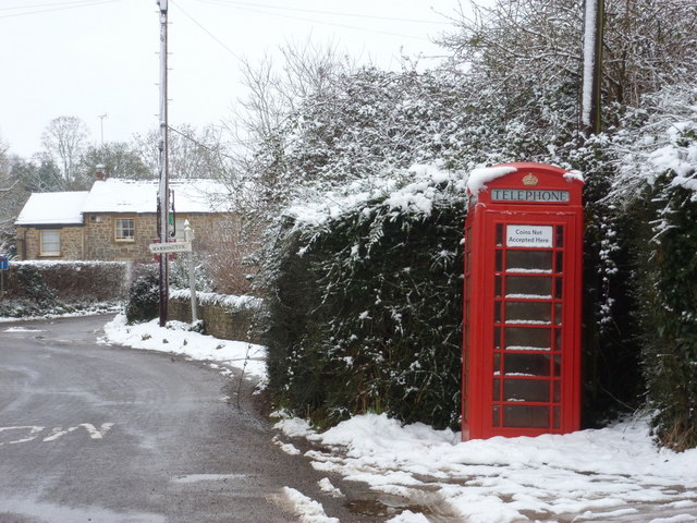
Image: © Chris Downer Taken: 19 Jan 2013
A traditional red phone box in Hardington Moor, a slightly detached area of the village to the northeast of what would be considered the 'main' village.
Images are licensed for reuse under creativecommons.org/licenses/by-sa/2.0
Image Location
Latitude
50.907254
Longitude
-2.685616