Site of Cheddar station, 1995
Introduction
The photograph on this page of Site of Cheddar station, 1995 by Ben Brooksbank as part of the Geograph project.
The Geograph project started in 2005 with the aim of publishing, organising and preserving representative images for every square kilometre of Great Britain, Ireland and the Isle of Man.

There are currently over 7.5m images from over 14,400 individuals and you can help contribute to the project by visiting https://www.geograph.org.uk
Site of Cheddar station, 1995
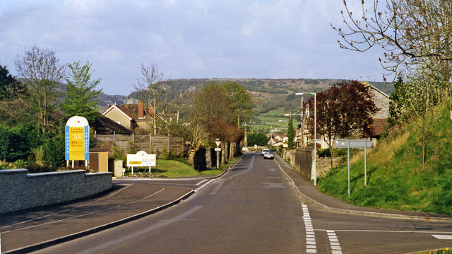
Image: © Ben Brooksbank Taken: 25 Apr 1995
View NE towards the Cheddar Cliffs (and the Gorge), approximately where the B3151 from Wedmore enters Cheddar. The station was below the road, on the ex-GW Yatton (left) - (right) Wells - Witham line. Passenger traffic ceased on this line from 9/9/63; goods traffic at Cheddar lasted at least a year longer.
Images are licensed for reuse under creativecommons.org/licenses/by-sa/2.0
Image Location
Latitude
51.274772
Longitude
-2.784973