
Meikle Dornell
Introduction
The photograph on this page of Meikle Dornell by Rude Health as part of the Geograph project.
The Geograph project started in 2005 with the aim of publishing, organising and preserving representative images for every square kilometre of Great Britain, Ireland and the Isle of Man.

There are currently over 7.5m images from over 14,400 individuals and you can help contribute to the project by visiting https://www.geograph.org.uk
Meikle Dornell
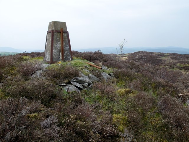
Image: © Rude Health Taken: 18 Apr 2011
From NW across sheep pasture to damaged piece of impressive wall where 2 sturdy wooden gates tend to ease passage over the wall to the old looking trig. Name: Meikle Dornell Hill number: 5045 Height: 175m / 574ft Area: 27B: Carrick and Galloway Class: Hu Grid ref: NX 69706 66448 Summit feature: trig point: OS measurement Drop: 101m Col: 74m NX685630
Images are licensed for reuse under creativecommons.org/licenses/by-sa/2.0
Image Location

Latitude
54.97557
Longitude
-4.037164