The Old Wharf House, Majors Road, Longcot
Introduction
The photograph on this page of The Old Wharf House, Majors Road, Longcot by Vieve Forward as part of the Geograph project.
The Geograph project started in 2005 with the aim of publishing, organising and preserving representative images for every square kilometre of Great Britain, Ireland and the Isle of Man.

There are currently over 7.5m images from over 14,400 individuals and you can help contribute to the project by visiting https://www.geograph.org.uk
The Old Wharf House, Majors Road, Longcot
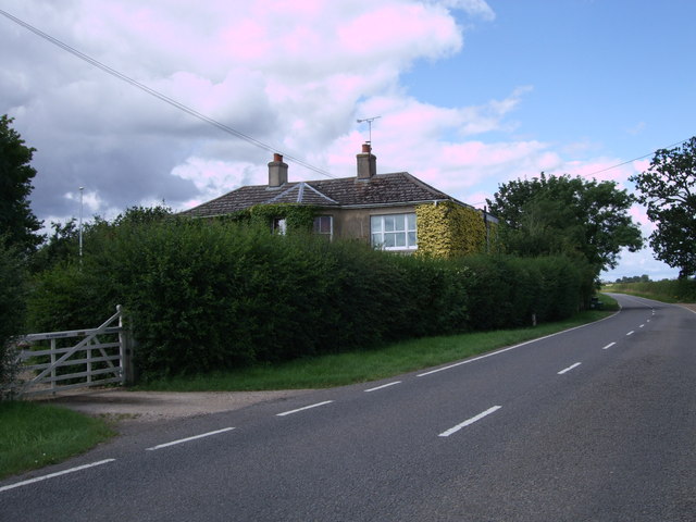
Image: © Vieve Forward Taken: 30 Jul 2012
As its name implies, this house is situated close to what was once Longcot Wharf, on a stub of the now disused Wilts & Berks Canal. http://en.wikipedia.org/wiki/Wilts_%26_Berks_Canal http://www.wbct.org.uk/ This wharf was reputedly one of the busiest on the canal, being that closest to Faringdon.
Images are licensed for reuse under creativecommons.org/licenses/by-sa/2.0
Image Location


Leaflet Map data © OpenStreetMap
Latitude
51.612521
Longitude
-1.615512