Steps down to the Garw Valley Community Route near Bettws
Introduction
The photograph on this page of Steps down to the Garw Valley Community Route near Bettws by eswales as part of the Geograph project.
The Geograph project started in 2005 with the aim of publishing, organising and preserving representative images for every square kilometre of Great Britain, Ireland and the Isle of Man.

There are currently over 7.5m images from over 14,400 individuals and you can help contribute to the project by visiting https://www.geograph.org.uk
Steps down to the Garw Valley Community Route near Bettws
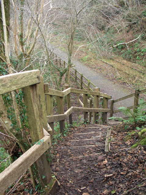
Image: © eswales Taken: Unknown
The Garw Valley Community Route, which for the most part runs along the course of an old railway, lies at a lower level than some of the roads surrounding it. At points, steps have been erected, enabling passage between the latter and the cycle path followed by the Community Route. The steps seen in the photograph drop down to the cycle path from a narrow lane lying on the Ogwr Ridgeway Walk. They are situated on the north side of the bridge carrying the lane over the path seen in Image A short section of the Garw Valley Railway which runs alongside the Community Route for much of its length can be seen beyond the path. That railway is currently (2013) not in use. Further north, a set of steps connects the Community Route with the road West Rhonnda at Tylagwyn (in grid square Image).
Images are licensed for reuse under creativecommons.org/licenses/by-sa/2.0
Image Location
Latitude
51.569732
Longitude
-3.576997