Carnmenellis
Introduction
The photograph on this page of Carnmenellis by Rude Health as part of the Geograph project.
The Geograph project started in 2005 with the aim of publishing, organising and preserving representative images for every square kilometre of Great Britain, Ireland and the Isle of Man.

There are currently over 7.5m images from over 14,400 individuals and you can help contribute to the project by visiting https://www.geograph.org.uk
Carnmenellis
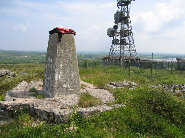
Image: © Rude Health Taken: 1 Jun 2008
Parked at the right angle bend in the road to the West. Follow the track then when you leave it it is brambles. Would be tricky in the summer and certainly not a hill for shorts. Name: Carnmenellis Hill number: 2886 Height: 252m / 827ft Area: 40: Cornwall & Devon Class: Ma Grid ref: SW 69563 36448 Summit feature: trig point Drop: 165m Col: 87m SW789496
Images are licensed for reuse under creativecommons.org/licenses/by-sa/2.0
Image Location
Latitude
50.183149
Longitude
-5.229261