Gussage All Saints: phone box and cottage
Introduction
The photograph on this page of Gussage All Saints: phone box and cottage by Chris Downer as part of the Geograph project.
The Geograph project started in 2005 with the aim of publishing, organising and preserving representative images for every square kilometre of Great Britain, Ireland and the Isle of Man.

There are currently over 7.5m images from over 14,400 individuals and you can help contribute to the project by visiting https://www.geograph.org.uk
Gussage All Saints: phone box and cottage
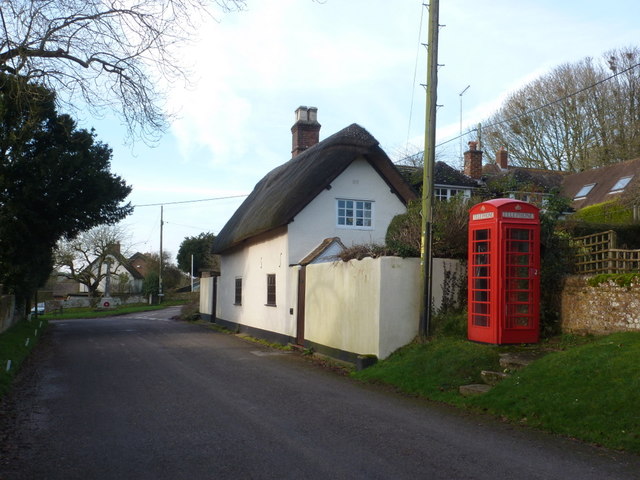
Image: © Chris Downer Taken: 13 Jan 2013
The telephone box stands towards the top end of the unnamed main street, alongside an attractive thatched cottage which is set directly on the edge of the road, unlike its neighbours.
Images are licensed for reuse under creativecommons.org/licenses/by-sa/2.0
Image Location


Leaflet Map data © OpenStreetMap
Latitude
50.89623
Longitude
-2.002366