Hulme View
Introduction
The photograph on this page of Hulme View by Marcus Hargis as part of the Geograph project.
The Geograph project started in 2005 with the aim of publishing, organising and preserving representative images for every square kilometre of Great Britain, Ireland and the Isle of Man.

There are currently over 7.5m images from over 14,400 individuals and you can help contribute to the project by visiting https://www.geograph.org.uk
Hulme View
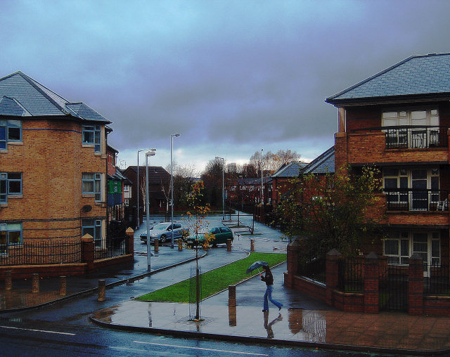
Image: © Marcus Hargis Taken: 6 Dec 2006
Taken from the junction on Greenheys Lane West (in the foreground) and Mytton Street, looking at the cut-through leading to Sam Swire Street. In the mid-ground are housing association properties.In the background, Manchester Corporation housing can just be seen.
Images are licensed for reuse under creativecommons.org/licenses/by-sa/2.0
Image Location
Latitude
53.463092
Longitude
-2.250443