Bungalows and highrise flats, Shirehampton, Bristol
Introduction
The photograph on this page of Bungalows and highrise flats, Shirehampton, Bristol by Jaggery as part of the Geograph project.
The Geograph project started in 2005 with the aim of publishing, organising and preserving representative images for every square kilometre of Great Britain, Ireland and the Isle of Man.

There are currently over 7.5m images from over 14,400 individuals and you can help contribute to the project by visiting https://www.geograph.org.uk
Bungalows and highrise flats, Shirehampton, Bristol
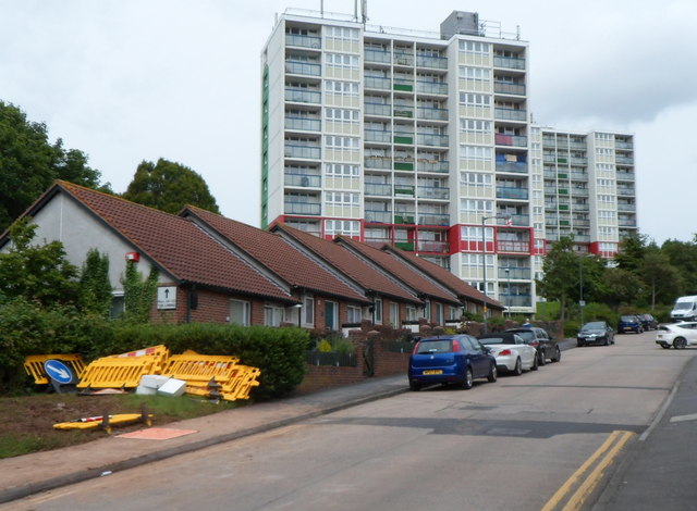
Image: © Jaggery Taken: 23 Jun 2012
Though now part of Bristol, Shirehampton retains some elements of its former status as a village. I was surprised on turning the corner from High Street into The Ridge to see these two highrise blocks of flats, Barwick House and Sedgewick House.
Images are licensed for reuse under creativecommons.org/licenses/by-sa/2.0
Image Location
Latitude
51.491249
Longitude
-2.676915