Houses on the corner
Introduction
The photograph on this page of Houses on the corner by Robin Webster as part of the Geograph project.
The Geograph project started in 2005 with the aim of publishing, organising and preserving representative images for every square kilometre of Great Britain, Ireland and the Isle of Man.

There are currently over 7.5m images from over 14,400 individuals and you can help contribute to the project by visiting https://www.geograph.org.uk
Houses on the corner
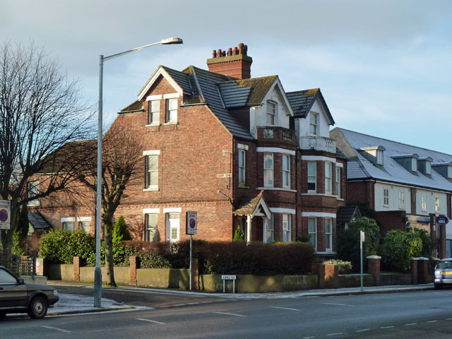
Image: © Robin Webster Taken: 16 Jan 2013
The corner being where Limes Road meets Cheriton Road. 'Limes Road' appears twice - a modern name plate on posts low down, and an old style plate high on the house.
Images are licensed for reuse under creativecommons.org/licenses/by-sa/2.0
Image Location
Latitude
51.085975
Longitude
1.15307