Sea Park
Introduction
The photograph on this page of Sea Park by Anne Burgess as part of the Geograph project.
The Geograph project started in 2005 with the aim of publishing, organising and preserving representative images for every square kilometre of Great Britain, Ireland and the Isle of Man.

There are currently over 7.5m images from over 14,400 individuals and you can help contribute to the project by visiting https://www.geograph.org.uk
Sea Park
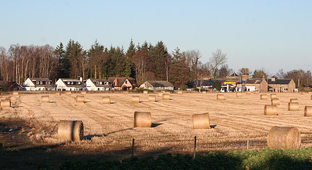
Image: © Anne Burgess Taken: 15 Jan 2013
The old mansion house of Sea Park is behind the filling station next to the steading. The B9011 from Forres runs between the row of houses and the field with the bales in it.
Images are licensed for reuse under creativecommons.org/licenses/by-sa/2.0
Image Location
Latitude
57.633633
Longitude
-3.573752