Open farmland at Hanby
Introduction
The photograph on this page of Open farmland at Hanby by Kate Jewell as part of the Geograph project.
The Geograph project started in 2005 with the aim of publishing, organising and preserving representative images for every square kilometre of Great Britain, Ireland and the Isle of Man.

There are currently over 7.5m images from over 14,400 individuals and you can help contribute to the project by visiting https://www.geograph.org.uk
Open farmland at Hanby
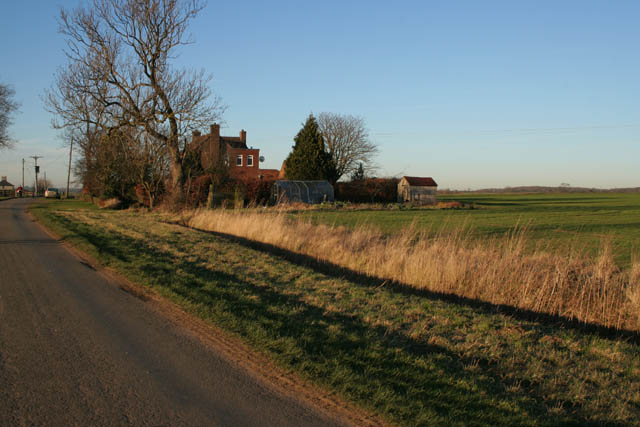
Image: © Kate Jewell Taken: 3 Feb 2007
Most of the fields along this stretch of the old Roman King Street aren't fenced or hedged. The house is called Grand View and is just over the border in Image
Images are licensed for reuse under creativecommons.org/licenses/by-sa/2.0
Image Location
Latitude
52.875469
Longitude
-0.480267