Looking Through Gate To Bryn-hir
Introduction
The photograph on this page of Looking Through Gate To Bryn-hir by Rude Health as part of the Geograph project.
The Geograph project started in 2005 with the aim of publishing, organising and preserving representative images for every square kilometre of Great Britain, Ireland and the Isle of Man.

There are currently over 7.5m images from over 14,400 individuals and you can help contribute to the project by visiting https://www.geograph.org.uk
Looking Through Gate To Bryn-hir
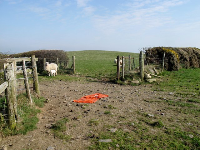
Image: © Rude Health Taken: 26 Mar 2011
Moved west to gain sunshine on this quick tick on sheep pasture. Parking for one car if heading west before field gate. Name: Bryn-hir Hill number: 5210 Height: 179m / 587ft Area: 31A: Aberystwyth to Welshpool Class: Hu Grid ref: SN 61557 86174 Summit feature: no feature Drop: 130m Col: 49m SN625874
Images are licensed for reuse under creativecommons.org/licenses/by-sa/2.0
Image Location
Latitude
52.455783
Longitude
-4.03956