A689 entering Helmington Row
Introduction
The photograph on this page of A689 entering Helmington Row by Trevor Littlewood as part of the Geograph project.
The Geograph project started in 2005 with the aim of publishing, organising and preserving representative images for every square kilometre of Great Britain, Ireland and the Isle of Man.

There are currently over 7.5m images from over 14,400 individuals and you can help contribute to the project by visiting https://www.geograph.org.uk
A689 entering Helmington Row
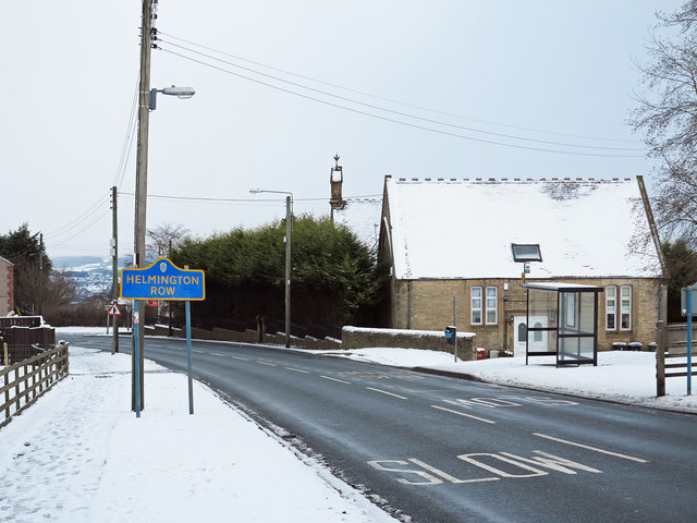
Image: © Trevor Littlewood Taken: 15 Jan 2013
Helmington Row is a small County Durham village lying on the A689 between the small towns of Crook and Willington. The building beyond the bus stop, now a private house, was once a 'board school'; it's a listed building. The blue and yellow road sign is characteristic of a style of signage introduced by County Durham some years ago.
Images are licensed for reuse under creativecommons.org/licenses/by-sa/2.0
Image Location
Latitude
54.710057
Longitude
-1.722927