Hills in east Leicestershire
Introduction
The photograph on this page of Hills in east Leicestershire by Mat Fascione as part of the Geograph project.
The Geograph project started in 2005 with the aim of publishing, organising and preserving representative images for every square kilometre of Great Britain, Ireland and the Isle of Man.

There are currently over 7.5m images from over 14,400 individuals and you can help contribute to the project by visiting https://www.geograph.org.uk
Hills in east Leicestershire
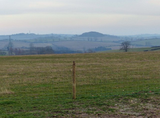
Image: © Mat Fascione Taken: 12 Jan 2013
The wooded hill in the centre is the 220m Colborough Hill, with the 230m Whatborough Hill to the left.
Images are licensed for reuse under creativecommons.org/licenses/by-sa/2.0
Image Location
Latitude
52.6272
Longitude
-0.918523