The Darfield ('The New Un')
Introduction
The photograph on this page of The Darfield ('The New Un') by Steve Fareham as part of the Geograph project.
The Geograph project started in 2005 with the aim of publishing, organising and preserving representative images for every square kilometre of Great Britain, Ireland and the Isle of Man.

There are currently over 7.5m images from over 14,400 individuals and you can help contribute to the project by visiting https://www.geograph.org.uk
The Darfield ('The New Un')
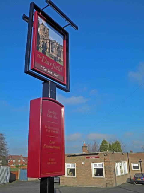
Image: © Steve Fareham Taken: 13 Jan 2013
Built I guess around 1957 the Darfield Hotel (Public House) was always and still is known as 'The New Un'. The pub once fronted with a large red shale car park onto Nanny Marr Road which now contains houses.
Images are licensed for reuse under creativecommons.org/licenses/by-sa/2.0
Image Location
Latitude
53.537318
Longitude
-1.37545