The Castle and the inner ring road
Introduction
The photograph on this page of The Castle and the inner ring road by Bill Boaden as part of the Geograph project.
The Geograph project started in 2005 with the aim of publishing, organising and preserving representative images for every square kilometre of Great Britain, Ireland and the Isle of Man.

There are currently over 7.5m images from over 14,400 individuals and you can help contribute to the project by visiting https://www.geograph.org.uk
The Castle and the inner ring road
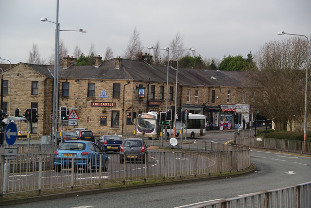
Image: © Bill Boaden Taken: 5 Jan 2013
The A680 has had a small diversion to take it round Abbey Street, which used to be the main road. I am not aware of any castle in Accrington that the pub could have been named after.
Images are licensed for reuse under creativecommons.org/licenses/by-sa/2.0
Image Location
Latitude
53.755814
Longitude
-2.365174