Capel Glasgoed - a converted chapel
Introduction
The photograph on this page of Capel Glasgoed - a converted chapel by Eric Jones as part of the Geograph project.
The Geograph project started in 2005 with the aim of publishing, organising and preserving representative images for every square kilometre of Great Britain, Ireland and the Isle of Man.

There are currently over 7.5m images from over 14,400 individuals and you can help contribute to the project by visiting https://www.geograph.org.uk
Capel Glasgoed - a converted chapel
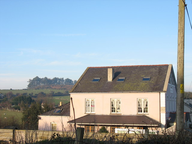
Image: © Eric Jones Taken: 4 Feb 2007
In 1900 Capel Glasgoed had a membership of 175. Its annual eisteddfod (most chapels had one) was regarded as a particularly good one and drew competitors and audience from a wide area.
Images are licensed for reuse under creativecommons.org/licenses/by-sa/2.0
Image Location


Leaflet Map data © OpenStreetMap
Latitude
53.160137
Longitude
-4.171685