Woodside Street, Cinderford
Introduction
The photograph on this page of Woodside Street, Cinderford by Jaggery as part of the Geograph project.
The Geograph project started in 2005 with the aim of publishing, organising and preserving representative images for every square kilometre of Great Britain, Ireland and the Isle of Man.

There are currently over 7.5m images from over 14,400 individuals and you can help contribute to the project by visiting https://www.geograph.org.uk
Woodside Street, Cinderford
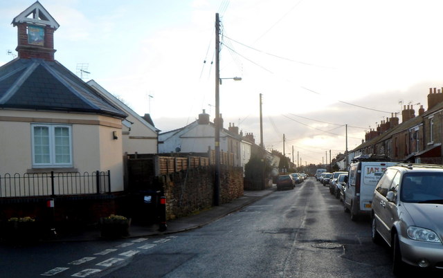
Image: © Jaggery Taken: 16 Dec 2012
A view south from the Abbey Street junction. At the left edge of the view is Kings Head Court, aptly adorned with a depiction of a king's head on the top of the building.
Images are licensed for reuse under creativecommons.org/licenses/by-sa/2.0
Image Location
Latitude
51.821764
Longitude
-2.498613