The Royal Oak
Introduction
The photograph on this page of The Royal Oak by Graham Hogg as part of the Geograph project.
The Geograph project started in 2005 with the aim of publishing, organising and preserving representative images for every square kilometre of Great Britain, Ireland and the Isle of Man.

There are currently over 7.5m images from over 14,400 individuals and you can help contribute to the project by visiting https://www.geograph.org.uk
The Royal Oak
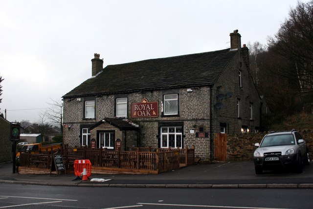
Image: © Graham Hogg Taken: 9 Jan 2013
The first/last watering hole at the western end of the A57 Snake Pass.
Images are licensed for reuse under creativecommons.org/licenses/by-sa/2.0
Image Location
Latitude
53.444637
Longitude
-1.927243