Church Twitten
Introduction
The photograph on this page of Church Twitten by Simon Carey as part of the Geograph project.
The Geograph project started in 2005 with the aim of publishing, organising and preserving representative images for every square kilometre of Great Britain, Ireland and the Isle of Man.

There are currently over 7.5m images from over 14,400 individuals and you can help contribute to the project by visiting https://www.geograph.org.uk
Church Twitten
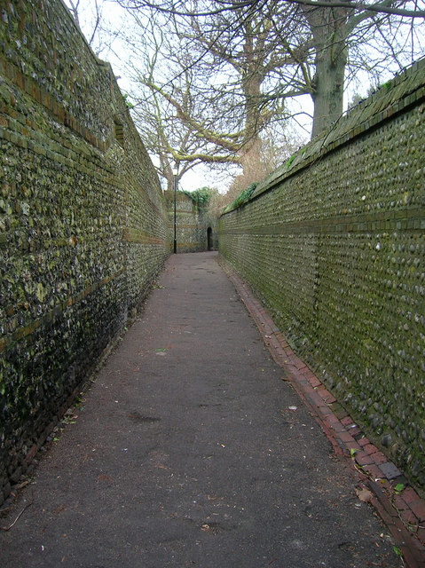
Image: © Simon Carey Taken: 4 Feb 2007
Another ancient lane this one to the east of Walwers Lane linking All Saints Church with the High Street. Formerly known as Church Lane.
Images are licensed for reuse under creativecommons.org/licenses/by-sa/2.0
Image Location
Latitude
50.872678
Longitude
0.012542