A bridge to nowhere
Introduction
The photograph on this page of A bridge to nowhere by Thomas Nugent as part of the Geograph project.
The Geograph project started in 2005 with the aim of publishing, organising and preserving representative images for every square kilometre of Great Britain, Ireland and the Isle of Man.

There are currently over 7.5m images from over 14,400 individuals and you can help contribute to the project by visiting https://www.geograph.org.uk
A bridge to nowhere
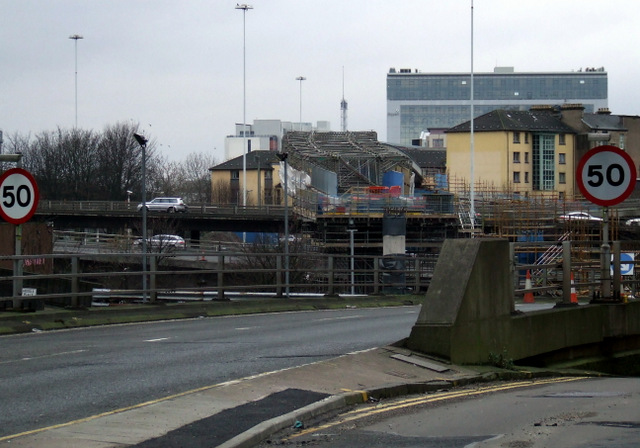
Image: © Thomas Nugent Taken: 5 Jan 2013
One of several "bridges to nowhere" at the north end of the M8 Kingston Bridge. This one is being developed for use as a cycle and footpath as reported by the BBC in September 2011 http://www.bbc.co.uk/news/uk-scotland-glasgow-west-15005067 . See the same scene in October 2008 Image
Images are licensed for reuse under creativecommons.org/licenses/by-sa/2.0
Image Location
Latitude
55.860861
Longitude
-4.26736